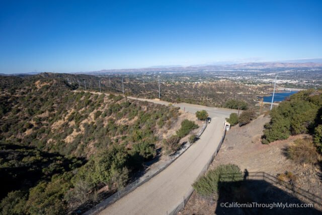
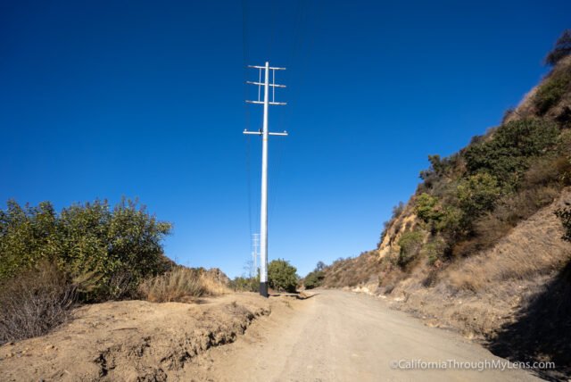
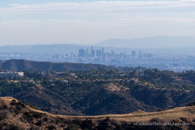
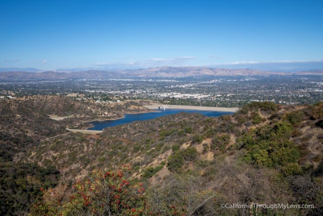
The hike is on a dirt road with a gradual incline. It is relatively uneventful, but you will see the Encino Reservoir out in the distance along the way.
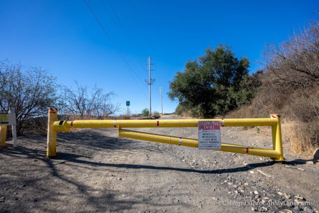
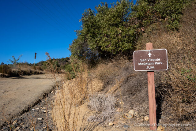
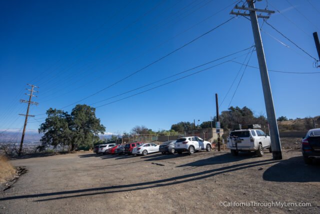
You will head past the yellow gate from the parking area and start the short hike to the park.
This is also a popular trail for mountain biking, so you will see many cyclists while there.
Video
To start the hike, you will want to make your way along Mullholand from the 405 Freeway. As you drive the road, you will see a dirt turnoff on the left. This rugged dirt road is only about a quarter of a mile and it takes you to the parking area for the hike. There are about a dozen spots.
Details
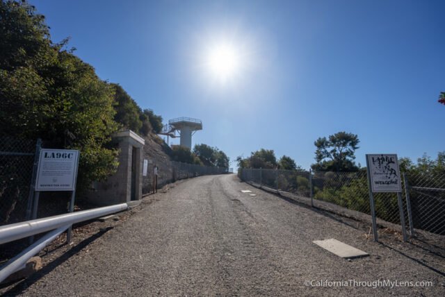
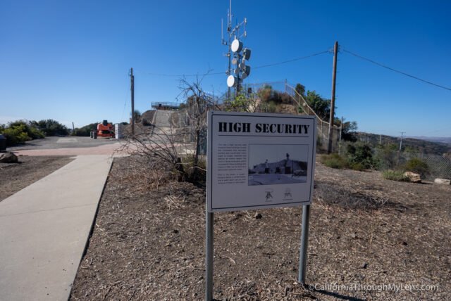
There are many displays around the park that talk about how it was one of 16 Nike Missile Sites during the Cold War and was in use from the mid-1950s to the late 1960s.
Getting There
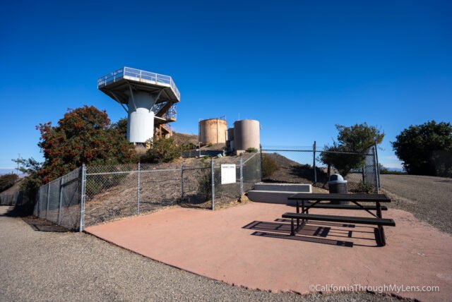
Eventually, you will make it to the park and the remains of the missile control site, LA-96C. From the entrance, you will see a guard station and start to see information placards that talk about the history of what you are looking at.
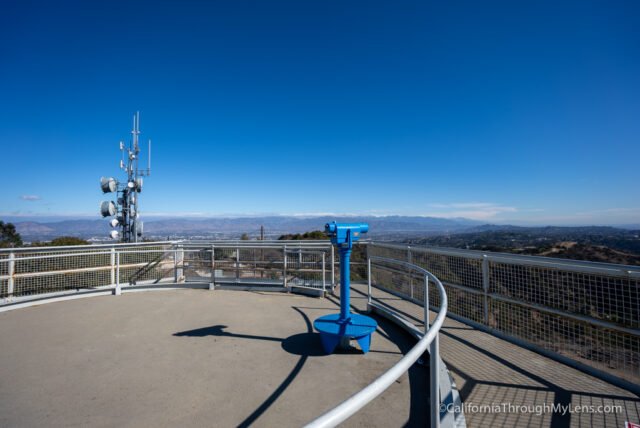
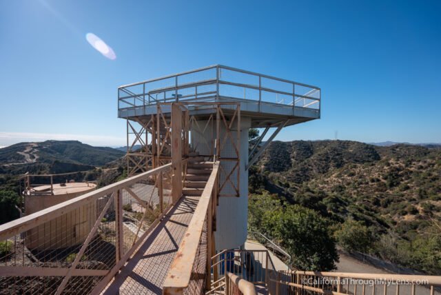
The highlight for sure is the radar tower that you can climb to the top of.
The site was used to track any potential incoming missiles that may have threatened Los Angeles during that time period.
There are many things to see here, and it is well laid out and enjoyable to explore.
The city park is well preserved and provides an awesome glimpse into California’s military history.
Here is a video I made of my hike.